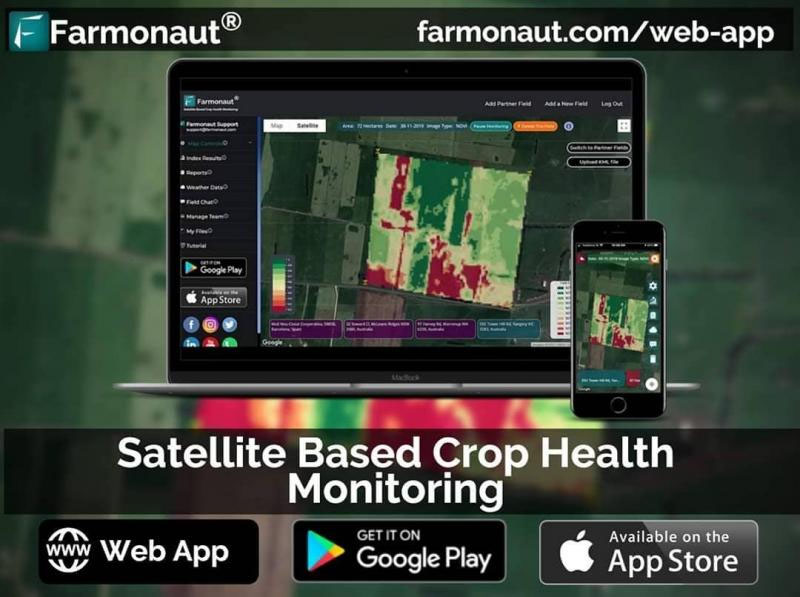
Farmonaut, an Indian start-up offering satellite-based crop health monitoring, has partnered with Godrej Agrovet to help map over 15,000 farmer fields and capture relevant, farm-level data.
Godrej has already mapped over 2,500 hectares contributing to approximately 1,400 field pieces. The company aims to map over 30,000 hectares (74,000 acres) by the end of the current month to monitor crop health, water stress, evapotranspiration, soil organic carbon, weather forecasting, etc, using the technology provided by Farmonaut.
“Farmonaut has made geotagging farmer fields more streamlined and a faster process,” said Ankur Omar, Farmonaut’s founder & CEO. “Our interconnected app ecosystem enables our clients to map fields through our android app and monitor, manage, and access data of the mapped fields through our robust and advanced web app. This interoperability is a game-changer for organisations that find it difficult to map and manage fields at a faster pace,” he continued.
“On top of this field mapping, our advanced app ecosystem will provide the latest and continuous satellite data of all the mapped fields to Godrej Agrovet to help them take farm-level actions well in advance. With several esteemed organisations already on board and using our technologies, the emergence of remote sensing in agriculture is imminent.”
The Bangalore-based start-up is already working to resolve one of the biggest challenges in the Indian agricultural ecosystem. Remote sensing technology is very popular for monitoring farming fields, however, it is not ideal in India, due to the high costs often associated with it.
Farmonaut claims to offer the most cost-effective solution, enabling farmers to identify crop-related problems without compromising on data quality, and providing a detailed analysis in an easy-to-understand format. Even for a small-scale farmer (less than 5 acres), Farmonaut says the cost of one month of satellite monitoring would be less than what one bottle of fertilizer/chemical costs. In return, farmers can monitor their fields remotely, and access data and analysis on crop health, vegetation water stress, and soil organic carbon content.
Currently, Indian farmers, on average, spend between 41,500 rupees (US$550) to 332,000 rupees (US$4,300) annually on each hectare of arable land. By using highly processed remote sensing results from Farmonaut, a farmer can save approximately 30% of the expense on chemicals, insecticides, pesticides, plant growth regulators, etc. – according to the company.
Using Farmonaut, farmers can select their field and identify regions where crop growth is not normal. Upon identification, they can simply pay a visit to that part of the field and investigate if the problem has already started. If it has not, the farmer can take preventive remedies by applying more fertilizers, plant growth regulators, etc. If the problem has started, they can simply use Farmonaut’s crop issue identification system to get real-time government-approved remedies.
Satellite imagery is updated every 2-5 days and has a resolution of 10m, which Farmonaut says is twice as powerful as images available in rural India via Google Maps.


