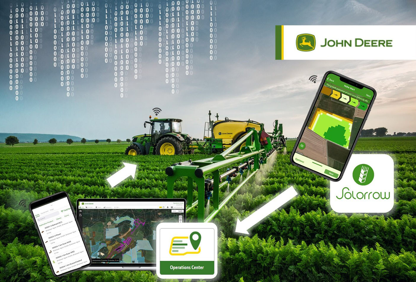
German company Solorrow GmbH provides European farmers with field biomass information by utilising long term satellite imagery. Visual information is gathered from the previous five years and processed to identify potential areas for targeted fertiliser application. Now the information from Solorrow is easily sent to the John Deere Operations Center where it can be relayed to specific machines to carry out recommended dose applications.

Field boundaries and maps
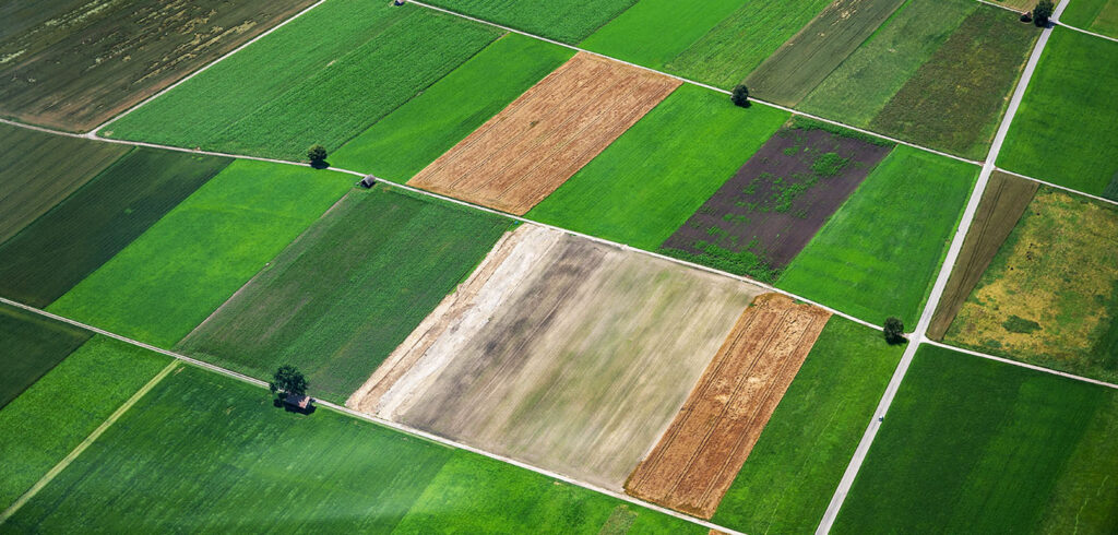
Software and app developments are becoming increasingly important in precision farming. Solorrow’s satellite imagery analysis technology is able to generate automatic field boundaries in 22 European countries, saving time for farmers on set-up. Their data tools, available via iPhone or Android app, examine individual fields to look for areas with higher yield / biomass potential, equally identifying those with lower performance potential. They calculate what they call the ‘Distribution of growth potential’ of a field.
Creating a prescription / application map
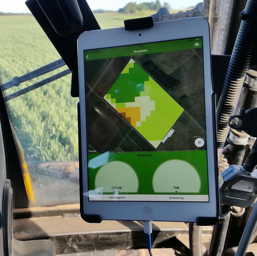
In much the same way as a doctor prescribes the best medicine to a patient, Solorrow’s software assesses each field and provides a range of strategic options to help calculate optimal fertiliser dose rates for the various zones within an individual field. This level of precision targeting of fertilisers lowers costs to the farmer and helps reduce unnecessary run off of chemicals into the local environment.
With Solorrow users can export their prescription map as an ISO-XML and Shape file via e-mail and import it into a machine terminal, for example with a USB stick OR via the connections to the Agrirouter and the John Deere Operations Center. The prescription map is simply exported to the Operations Center in My John Deere with a click and then also sent wirelessly to the appropriate vehicle.


